Region 1; The Ilocos Region
The Ilocos region is composed of four(4) provinces which are; Pangasinan, La Union, Ilocos Sur, and Ilocos Norte, and nine(9) cities namely; Dagupan City, San Carlos City, Alaminos City and Urdaneta City in Pangasinan; Candon City and Vigan City in Ilocos Sur; Batac City and Laoag City in Ilocos Norte. It’s regional center is San Fernando in La Union. The Ilocos region is famous for it’s foods and historical sites. From laoag, the capital of Ilocos Norte to the Historic city of Vigan, in Ilocos sur.
The History of Region 1
Region 1 was first inhabited by the aboriginal negritos before they were pushed by successive waves of Malay/Austronesian and immigrants that penetrated the narrow coast. Before the administration of Ferdinand Marcos, Pangasinan was not a part of the region. The Spanish arrived in the 16th century and established christian mission and governmental institutions to control the native population and convert them to the Roman Catholic Church. In 1901, the region came under American colonial rule, and in 1941, under Japanese occupation. During 1945, the combined American and the philippine commonwealth troops including the Ilocanos and pangasinense guerillas liberated the Ilocos region from Japanese forces during the Second World War.
Ilocos Norte
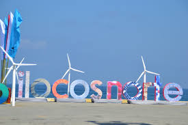
It’s capital is Laoag, and located in the northwest corner of Luzon island bordering Cagayan and Apayao to the East, Abra to the Southeast, Ilocos Sur in the Southwest, South China sea in the West, and the Luzon Strait to the North. Ilocos Norte covers a total area of 3,467 square kilometers occupying the northern tip of Ilocos region in Luzon. It is noted for being the birthplace of the 10th former president of the Philippines, Ferdinand E. Marcos. It is known as a northern tourist destination, being the location of Fort Ilocandia which is an upper class hotel and beach resort famous among expatriates and Pagudpud.
Ilocos Sur
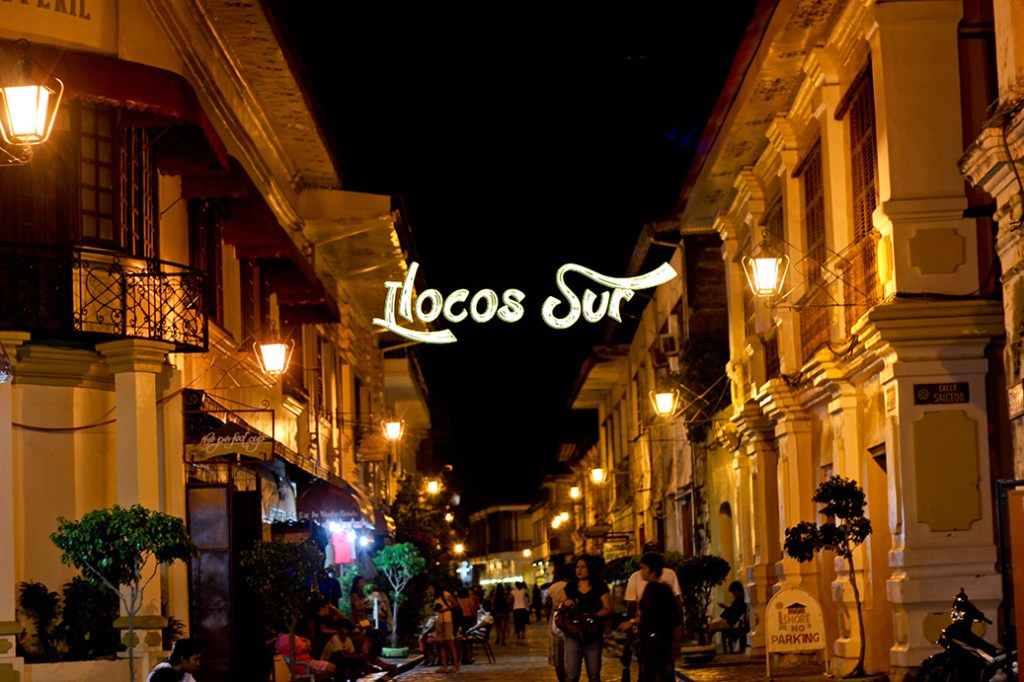
Its capital is the city of Vigan, located on the mouth of the Mestizo river. It is bordered by Ilocos Norte and Abra to the North, Mountain province to the East, La Union and Benguet to the South, and South china sea to the West. Ilocos Sur is well known for its cobblestone streets of Vigan, and the rich culture and history, the heritage sites and the adventure parks. It covers a total area of 2,592 square kilometers. Ilocos Sur was founded by the Spanish conquistador, Juan de Salcedo in 1572. It was formed when the north (now Ilocos Norte) split from the south (Ilocos Sur). At that time it included parts of Abra and the upper half of present-day La Union. The native Ilocano is a weaver, wood carver, pottery expert. The Ilocano cuisine ranges from the exotic “abu-os”(ant eggs) to vegetable broth “dinengdeng” the sticky “tinubong” to the “poqui-poqui” (eggplant salad).
La Union
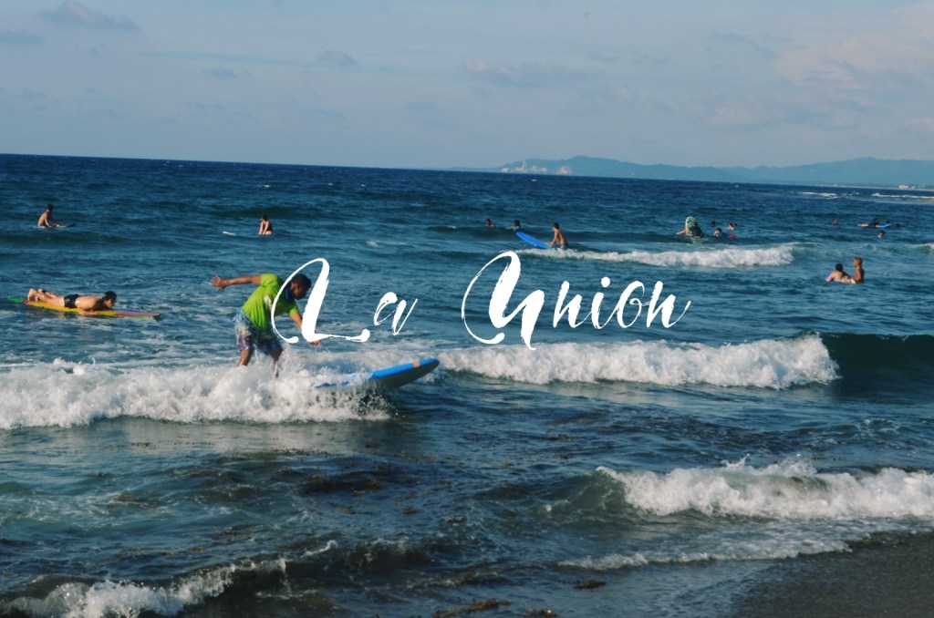
Its capital is San Fernando, which also serves as the regional center of the whole Ilocos region. This province is bordered by Ilocos Sur to the North, Benguet to the East, Pangasinan to the South, and to the West by the shores of the South China Sea(West Philippine Sea). La Union covers a total area of 1,497.70 square kilometers. Like most of the Ilocos Region, the province is squeezed in by the Cordillera Mountain Range to the east and the South China Sea to the west. Yet, unlike other portions of Luzon and the Philippines’ two other island groupings, the Visayas and Mindanao, La Union experiences a rather arid and prolonged dry season with little precipitation to be expected between the months of November and May. La Union is famous for the beach town of San Juan, the surfing capital on this side of Luzon. This province is a great place to travel for non-surfers and surfers alike. There is more to experience here apart from its famous surf. La Union has a meaning behind its name and when it’s translated it will be “The Union”, it was formed in 1850 by merging towns from the neighboring Provinces of Ilocos Sur, Pangasinan, and Benguet. Today, La Union asserts its position as the “Heart of Agri-Tourism in Northern Luzon by 2025” because of its major potentials in the fields of Agriculture and Tourism.
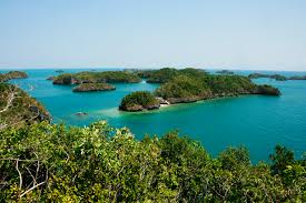
Pangasinan
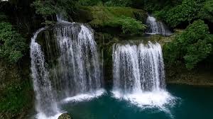
Its capital is Lingayen. Pangasinan is located on the west central area of the island of Luzon in the Philippines. It is bordered by La Union to the North, Benguet and Nueva Vizcaya to the Northeast, Nueva Ecija to the Southeast, Zambales and Tarlac to the South, and to the west is the South China Sea. It has a total land area of 5,451.01 square kilometers. Pangasinan is famous for its Hundred Islands National Park, an island-hopping destination where you can go swimming, snorkeling, camping, cliff jumping, whatever you name. A must visit place there is the white sand beaches and the breath taking waterfalls at Bolinao. The name Pangasinan means “place of salt” or “place of salt-making”; it is derived from the prefix pang, meaning “for”, the root word asin, meaning “salt”, and suffix an, signifying “location”.
By Ireneo Mar U. Manzano January 10, 2021
